
Why there is no “safest town in Britain”
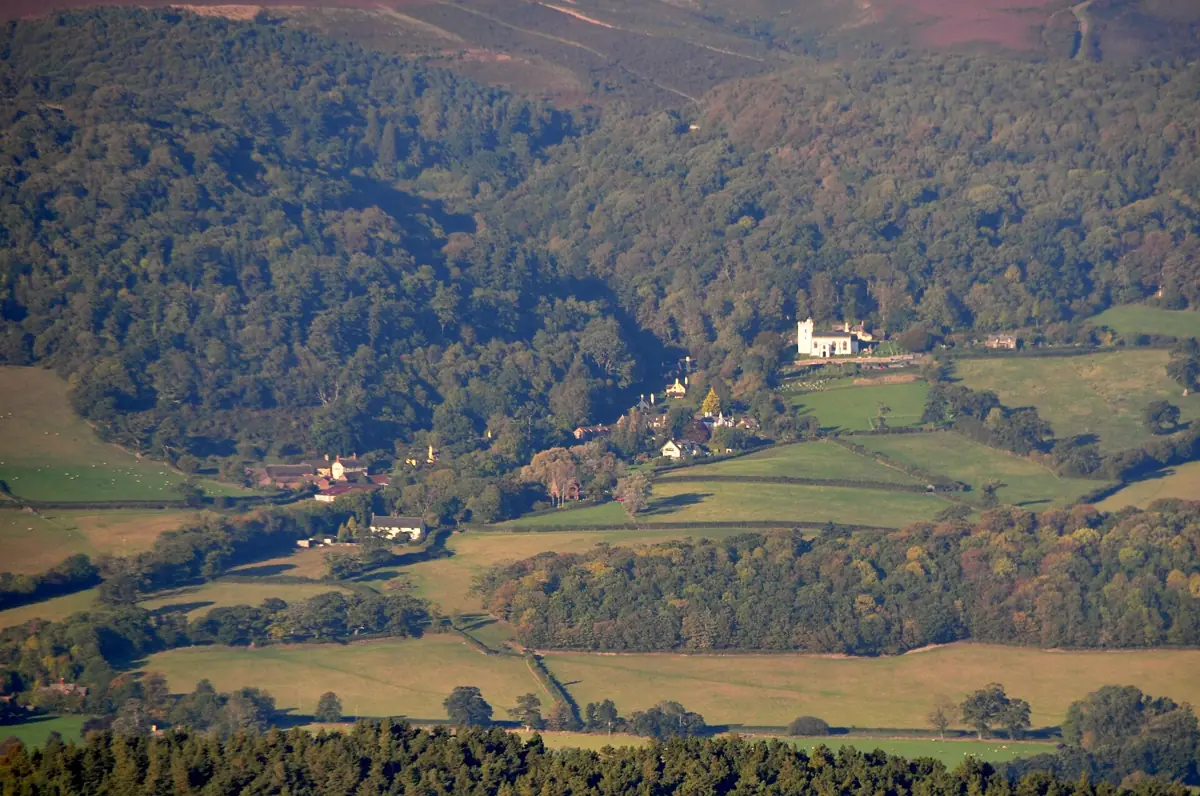
Every list of the “safest places to survive” is built on a single imagined catastrophe, usually a nuclear war or a total collapse, and ignores the risks that actually hurt people here year after year. A remote Highland glen might feel far from a city in chaos, but it may be cut off by snow for days, hours from the nearest A&E, and one of the last places to get its power back after a storm.
The government’s own National Risk Register 2025 assesses 89 risks to the UK across nine themes. The ones most likely to reach your front door are not exotic: flooding, storms, heat, cold, drought, power and water failures, cyber attacks on services you depend on, and disease. A good place to live is one where those risks are lower and where help, neighbours and supplies are close.
So instead of a ranking, here is a method. Run any address through these seven checks.
Check 1: flooding, the big one
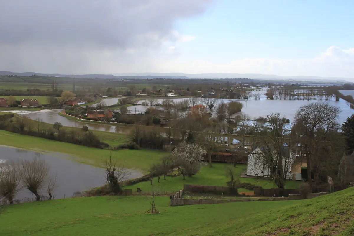
Flooding is the most common natural disaster in Britain, and it is getting worse. The Environment Agency’s 2024 national assessment found that around 6.3 million properties in England are in areas at risk of flooding from rivers, the sea or surface water. Of those, about 4.6 million are at risk from surface water, the flash flooding that happens when heavy rain overwhelms drains, often far from any river. The assessment says the total could rise to around 8 million, roughly one in four properties, by the middle of the century as the climate changes.

How to check:
- England: check your long-term flood risk by postcode. It shows rivers and the sea, surface water, reservoirs and (where data exists) groundwater, and how climate change may increase the risk.
- Scotland: the SEPA flood maps.
- Wales: the Natural Resources Wales flood risk map.
- Northern Ireland: Flood Maps NI from the Department for Infrastructure.
What lower risk looks like: higher ground, away from river floodplains and low coasts, not at the bottom of a slope or in a dip where surface water collects. Check the roads out, too. A house on a hill does little good if every route to it floods.
If you are at risk, that is not a reason to panic or move. It is a reason to sign up for flood warnings and read our flooding guide.
Check 2: the coast
Parts of the English coast, especially in East Yorkshire, Norfolk and Suffolk, are losing land to the sea, and some communities will not be defended forever. The Environment Agency’s coastal erosion risk service shows projected erosion for 2055 and 2105 and whether the long-term plan is to hold the line or let it retreat. Coastal homes also face storm surges, so check the flood map for “sea” risk too.
Check 3: water supply
Much of the South East and East of England is classed as seriously water stressed: demand is close to the amount of water available, and droughts bring hosepipe bans and, in the worst case, supply restrictions. Upland, wetter areas in the North and West have more water, but outages can happen anywhere, from a burst main or a power cut at a pumping station.
Wherever you are, keep bottled water: see water outages and water for weeks. If you rely on a private well or spring, a power cut may stop your pump, so plan for that.
Check 4: the ground and the air
- Radon: a natural radioactive gas from the ground, and the second biggest cause of lung cancer in the UK after smoking. Levels vary with the rock underneath: Cornwall, Devon, Derbyshire and Northamptonshire are among the best-known affected areas, with pockets in many other parts of the UK. Check the UK radon maps. If you are in an affected area, a cheap test tells you whether your home needs simple fixes.
- Old mines: former coalfields cover large parts of the Midlands, North, South Wales and Central Scotland. A conveyancing search should flag mining risk, and you can check if a property is affected by coal mining with the Mining Remediation Authority (formerly the Coal Authority).
- Wildfire: heaths, moors and dry grassland near homes are an increasing summer risk, as the 2022 heatwave fires on the edge of London showed.
Check 5: industrial and nuclear sites
Some people want to be as far as possible from nuclear power stations, chemical plants and fuel depots. Major industrial sites are tightly regulated, and people living near them should receive public information about what to do in an emergency. If you live within a site’s emergency planning zone, your council or the operator should tell you, and their emergency plans are public. Ask your council if you are unsure.
The official advice for a chemical or radiation release is the same everywhere: go in, stay in, tune in. A typical brick house greatly reduces your exposure. Read our guide to sheltering at home. Living a few miles further away matters far less than knowing what to do.
Check 6: how cut off you would be
This is where the “remote is safest” myth falls apart. Ask honestly:
- How far is the nearest A&E, and is the road to it on a flood map or prone to snow?
- In past storms, how long was the power off? Rural overhead lines usually take longest to repair. Our power cut data shows how reliable each network area is.
- Is there mobile signal from more than one network? See our guide to phones when networks are down.
- Is there a shop, pharmacy and fuel within walking distance?
- Does anyone in the household rely on powered medical equipment, regular care visits or dialysis?
Cities have their own weaknesses: more people competing for the same shelves, more surface water flooding, more heat. But they also have more hospitals, more routes, more rest centres and repair crews. Neither is automatically safer. What matters is whether your household could cope with the realistic gaps.
Check 7: community
In every serious British emergency, from the 1953 North Sea flood to Storm Arwen, neighbours were the first responders. Places that come through a crisis well tend to have people who know each other, a village hall or community centre, a local flood group or community emergency plan, and volunteers who check on those who are vulnerable.
Ask your parish, town or community council whether there is a community emergency plan. If there is not, the British Red Cross and many councils will help you start one.
Putting it together
| Check | Lower risk | Higher risk | Where to look |
|---|---|---|---|
| Flooding | Raised ground, away from floodplains and dips; dry access roads | Floodplains, low coasts, valley bottoms, basements | EA, SEPA, NRW, DfI flood maps |
| Coast | Inland, or defended coast with “hold the line” policy | Eroding cliffs, undefended low coasts | Coastal erosion risk service |
| Water | Wetter regions; mains supply with a reliable record | Seriously water stressed regions; private supply needing a pump | Your water company’s resilience plan |
| Ground | Low radon; no mining history | Radon affected area; past mine workings | UK radon maps; mining reports |
| Isolation | Close to services, several routes in and out | Single road, long power restoration times, far from A&E | Your own past experience; local data |
| Community | Active community emergency plan; neighbours who know each other | No local network; many people living alone without support | Parish or town council |
The best place to be is a prepared one
Very few people can or should move house because of disaster risk. The places that do best in a real crisis are ordinary streets where people have water and food put by, know the risks on their own doorstep, have signed up for warnings and look out for each other. That is achievable wherever you live, starting with our beginner’s guide and checklist.
Ask the seller or landlord directly whether the property has flooded, and check whether you can get flood insurance before you commit. Check the flood map, coastal erosion map and radon map, and read the conveyancing searches carefully. This is general information, not survey or legal advice.
Official sources we used
- National assessment of flood and coastal erosion risk in England 2024 (Environment Agency, GOV.UK)
- Check your long-term flood risk (Environment Agency, GOV.UK)
- Flood maps (Scotland) (SEPA)
- Check your flood risk on a map (Wales) (Natural Resources Wales)
- Flood Maps NI (Department for Infrastructure (NI))
- Check coastal erosion risk for an area in England (Environment Agency, GOV.UK)
- National Risk Register 2025 (Cabinet Office, GOV.UK)
- UK maps of radon (UKHSA (UKradon))
- What to do in a radiation emergency (GOV.UK)
- Find your local council (GOV.UK)
Local contacts for your area: find your council’s emergency page for its power, water and flood contacts.